Drone surveying and 3D models for modern construction sites
by B. Velonavy - 2024-02-13Construction sites are getting bigger, projects more complex, and the demands on documentation and surveying are constantly rising.
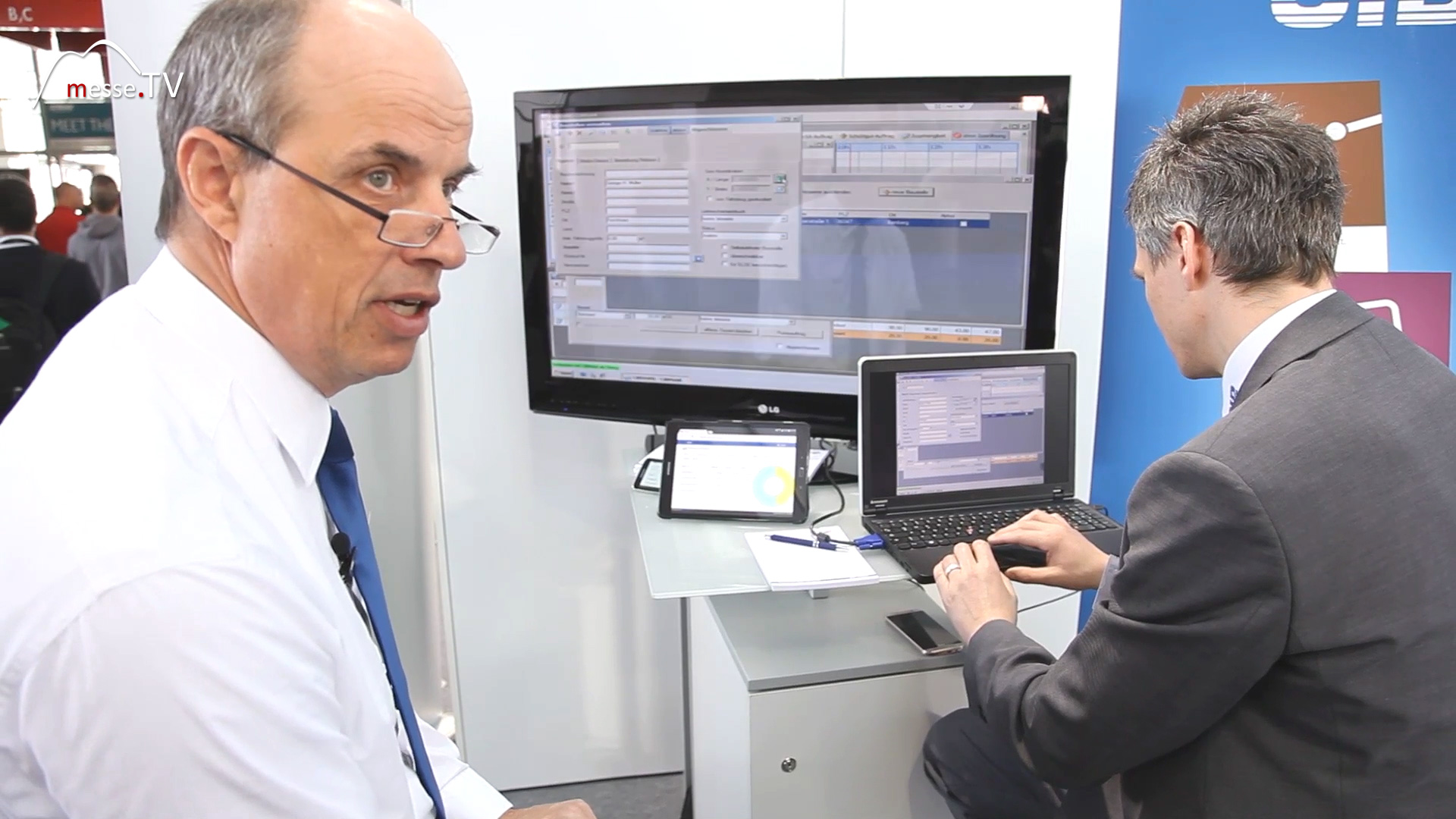
At the same time, construction companies expect up-to-date data on construction progress, terrain changes and material movements, ideally without time-consuming manual surveying work. This is precisely why unmanned aerial systems are becoming increasingly important. At bauma, Trimble demonstrated how drones, aircraft and modern sensor technology are used to precisely map construction sites and create digital models of entire project areas. This is no longer just about aerial photographs. The systems provide highly accurate geodata that can be directly incorporated into planning, surveying and site management.
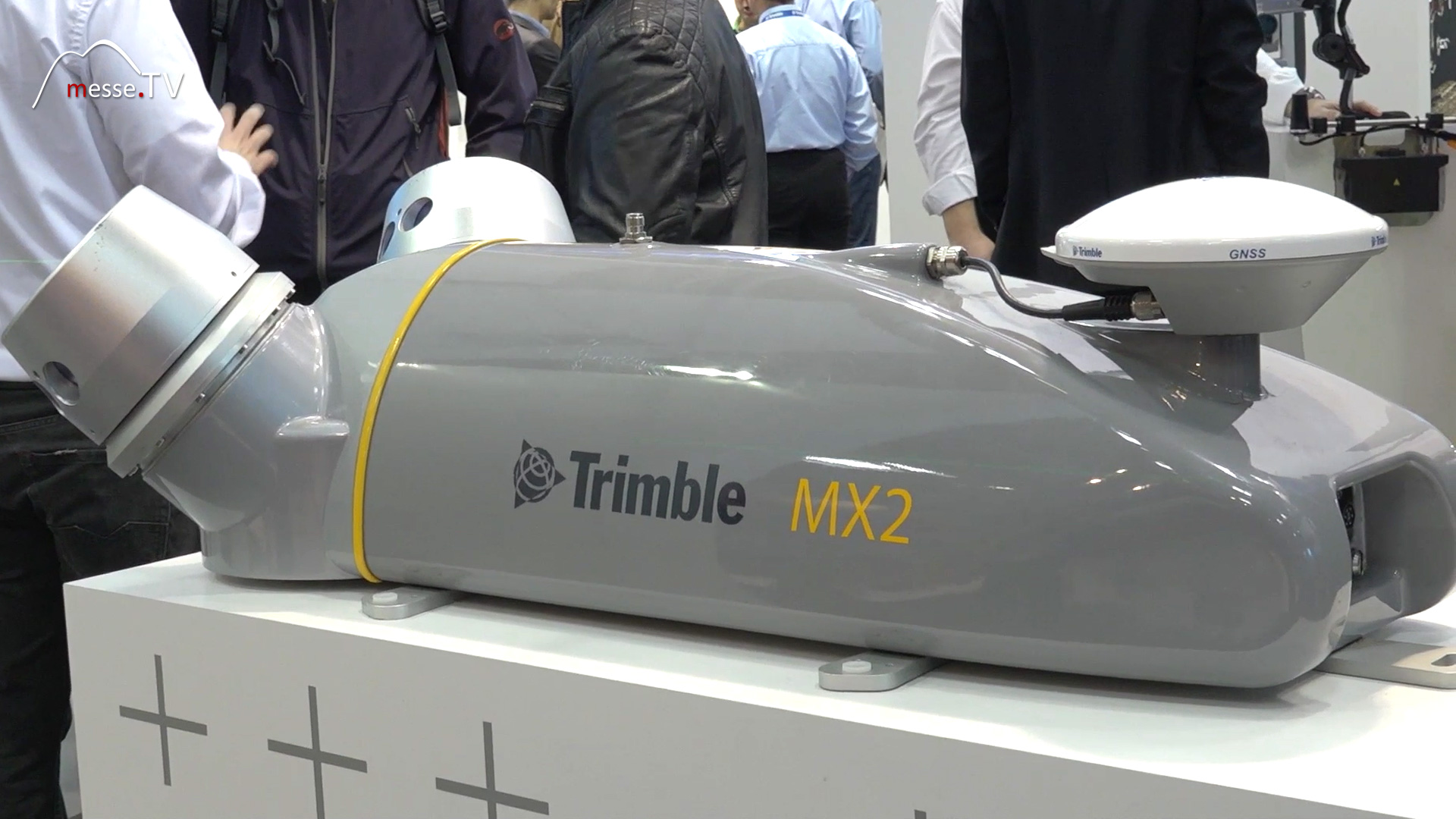

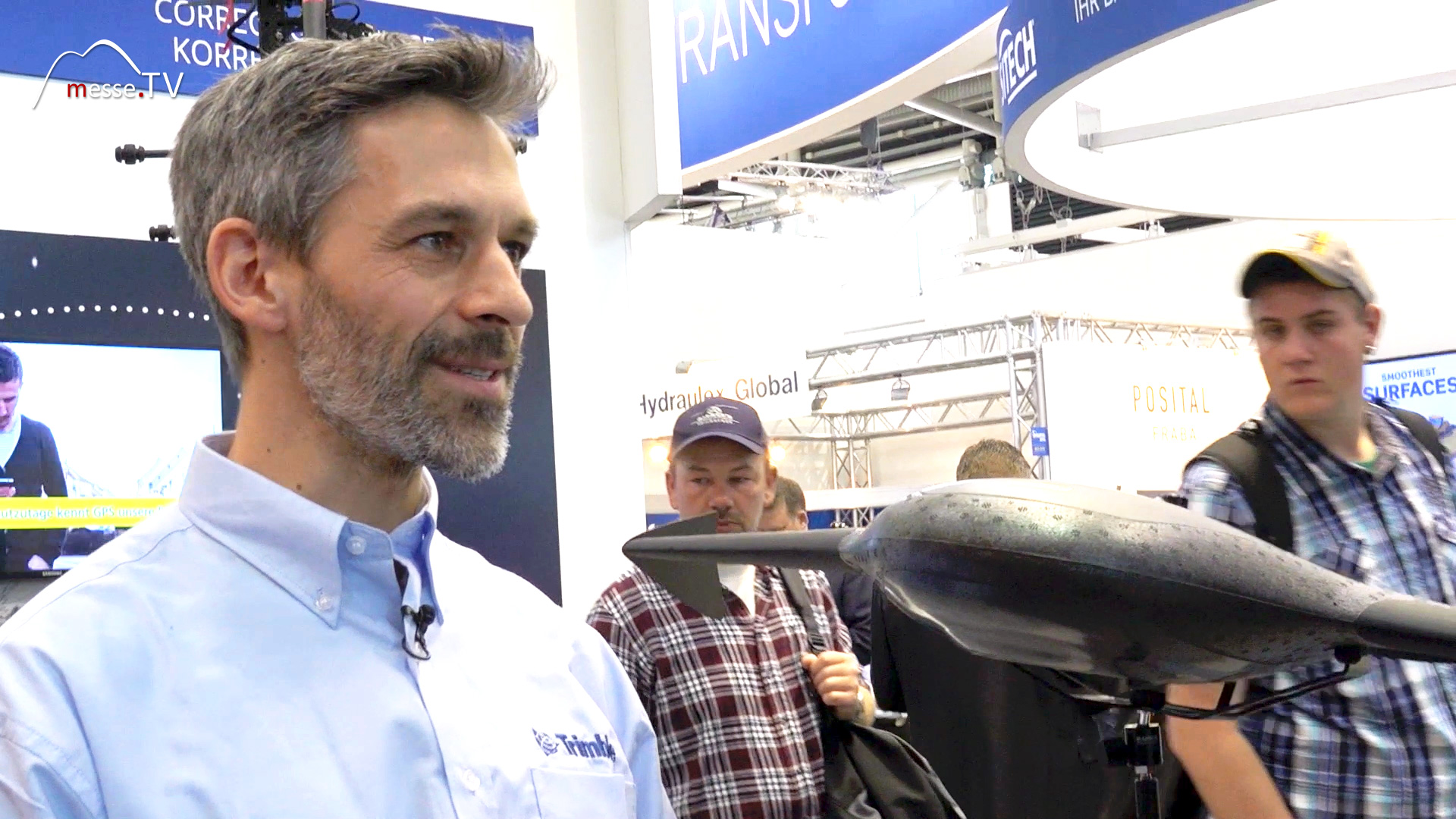
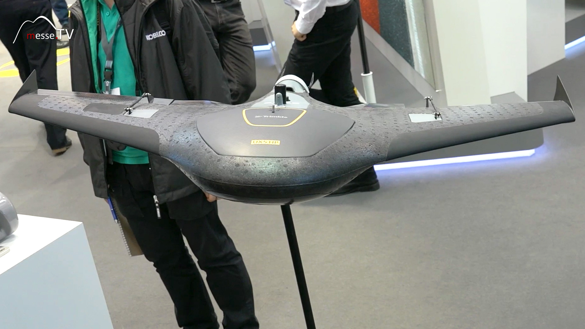
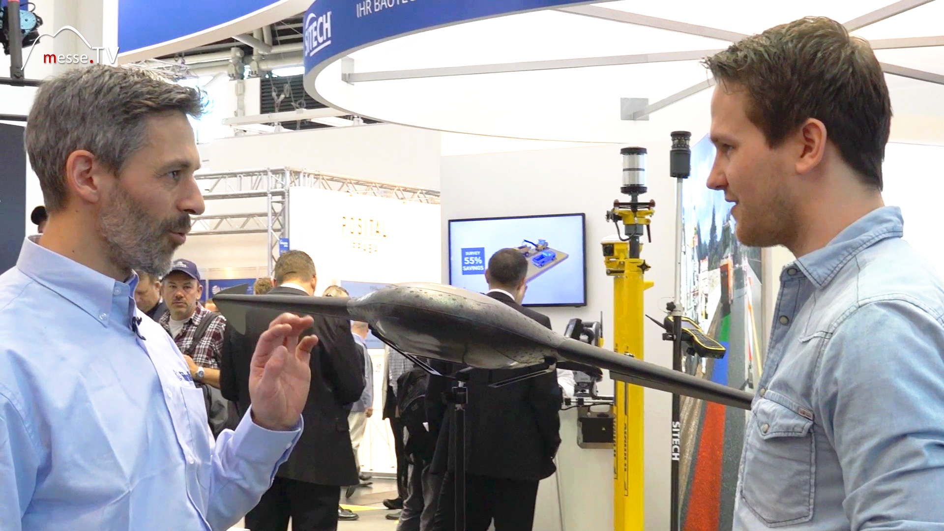
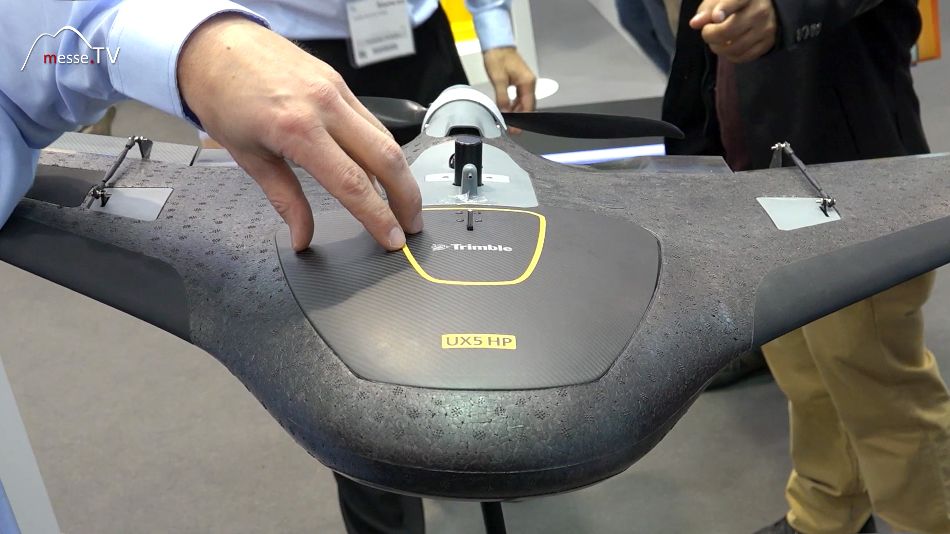
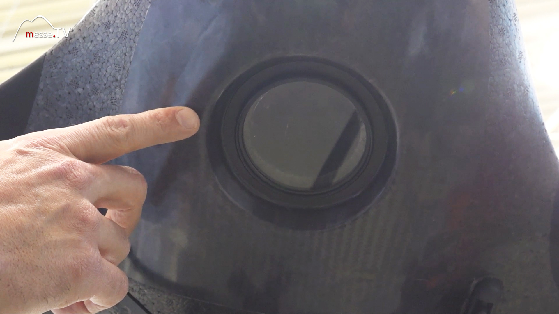
Trimble combines drones and winged systems for surveying
At first glance, the systems on display differ significantly from one another. Alongside traditional drones, Trimble also presented aircraft-like platforms with wings. Both pursue the same goal: the precise aerial surveying of large areas. Inside, high-resolution cameras work in conjunction with GPS receivers and attitude sensors. During the flight, every single image is linked to precise position data. Additionally, the sensors continuously record the system’s pitch, roll and attitude. This creates a data set that goes far beyond ordinary aerial photographs. Each photo has an exact spatial reference and can later be automatically combined with the other images.
Precise 3D models are created from individual images
The true value of the system only becomes apparent after the flight. The captured images are automatically analysed and merged into a comprehensive digital model. The numerous overlapping images are first used to create a detailed orthophoto of the construction site. At the same time, the data also provides elevation information, enabling a complete three-dimensional representation of the terrain to be generated.

This opens up a wide range of applications for construction companies:
- Documentation of construction progress
- Digital surveys of large areas
- Volume calculations for earthworks
- Monitoring of terrain changes
- Creation of precise 3D models
- Support for planning and surveying
Aircraft or copter – different tools for different tasks
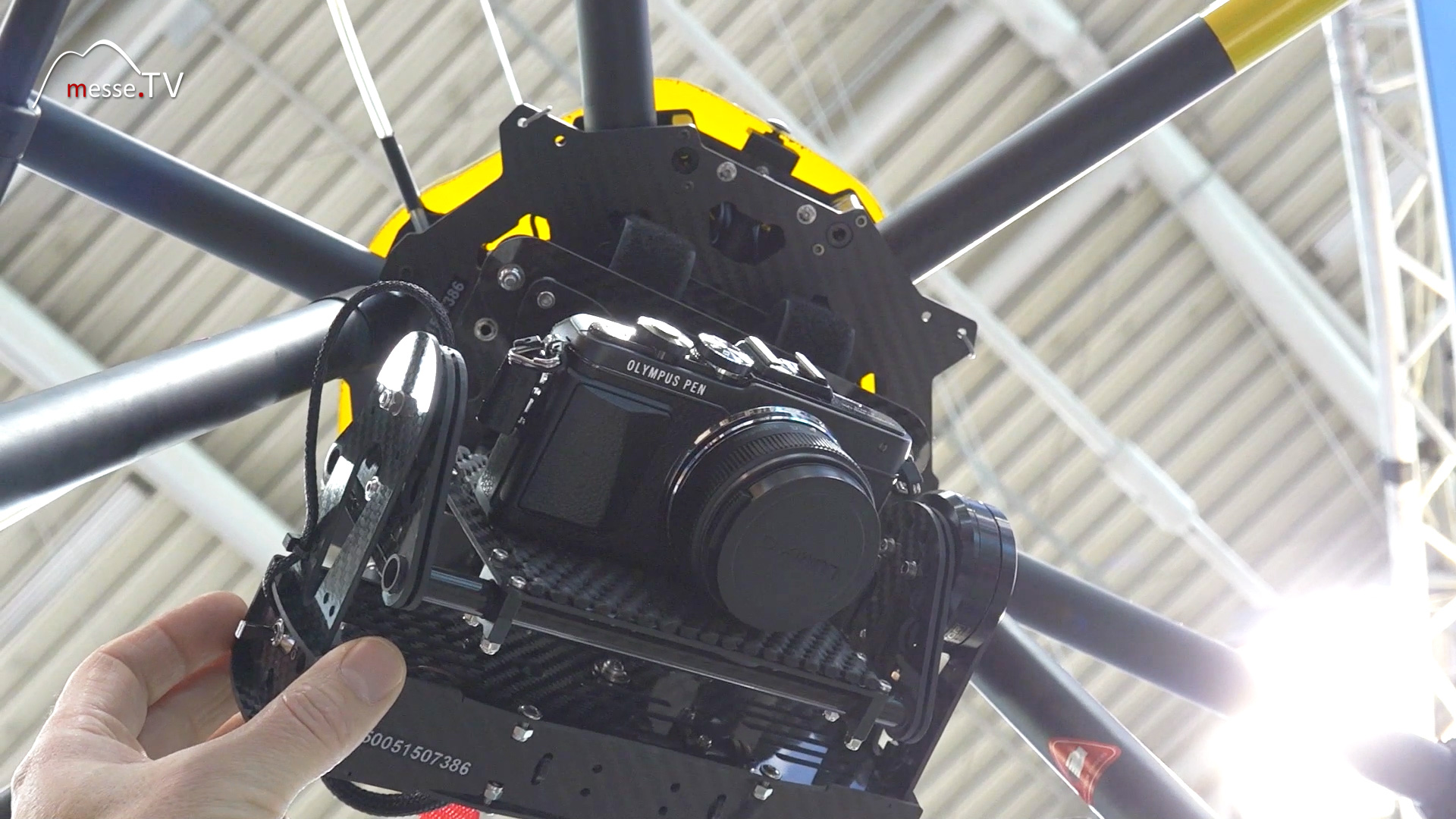
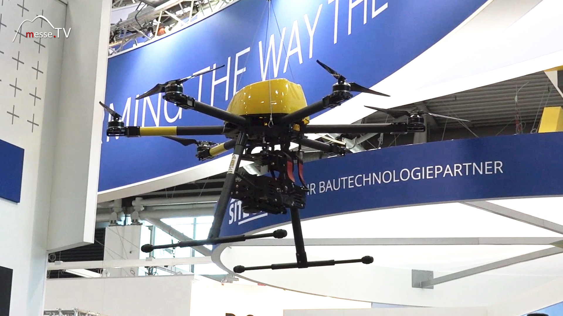
Whether a copter or a fixed-wing system is used depends heavily on the task at hand. The main differences lie in range, flight time and area of operation. Fixed-wing systems generate lift aerodynamically. As a result, they require comparatively little energy and can remain airborne for up to an hour. This enables the surveying of large areas covering several square kilometres in a single flight. Copters, on the other hand, offer significantly greater manoeuvrability. Their flight times are shorter, but they can be deployed with pinpoint accuracy. They are particularly suitable for smaller areas or for inspections of buildings and technical installations. Another advantage lies in the movable camera systems. These constantly compensate for flight movements and allow for the capture of vertical structures. Facades, bridges, masts or industrial facilities can thus be documented in detail.
Construction site monitoring is becoming the digital standard
Regular aerial surveys of construction sites are increasingly becoming an integral part of modern construction processes. Instead of manually recording individual survey points, complete digital representations of entire projects are generated within a short time. This data can be compared with planning documents, integrated into BIM processes or used to monitor construction progress. This provides managers with an up-to-date overview of the site’s condition without having to inspect every area on-site. This form of monitoring offers significant advantages, particularly for infrastructure projects, earthworks or large-scale commercial buildings. Changes become apparent more quickly and decisions can be made on the basis of significantly better data.
More precise sensors and simpler software as key development priorities
Future development will focus primarily on three areas: accuracy, automation and user-friendliness. Sensors for GPS positioning and location determination are becoming increasingly precise. The aim is to generate highly accurate results even without additional reference points on the ground. This further reduces the effort required for data collection. Software is evolving in parallel. Analyses are to be carried out more quickly and increasingly by users who are not specialist surveying experts. Automated workflows are taking over more and more steps between data collection and the finished model. The solutions presented at bauma illustrate just how much surveying technology has changed. Aerial photographs are now being turned into digital twins of construction sites. The more precise the sensors become and the simpler the analysis process is, the more such systems will be integrated into daily construction workflows.


Trade fair reporting Germany - Trade fair knowledge, dates & events